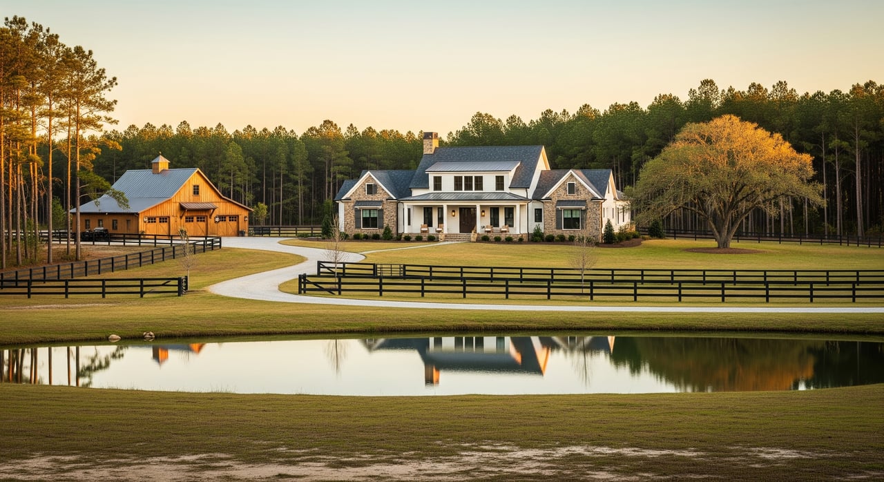
Buying Acreage in Vass: Key Terms Explained
December 11, 2025
December 11, 2025
Thinking about buying land in Vass and wondering what all the jargon means? You are not alone. Acreage comes with its own vocabulary, permits, and due diligence steps that can feel overwhelming at first. In this plain-English guide, you will learn the key terms, what to verify in Moore County and the Village of Vass, and a smart sequence to evaluate any parcel with confidence. Let’s dive in.
When a listing says “X acres,” it is describing the parcel size. One acre equals 43,560 square feet. Many listings note that acreage is approximate or subject to survey. If the exact size matters for price, financing, or your plans, a current licensed boundary survey is the gold standard for confirming total acreage and locating corners.
You may see “acreage subject to survey.” This means the final acreage will be determined by a survey and could change slightly. That can affect price per acre, boundary lines, and potential encroachments, so plan to verify with a survey contingency.
A boundary survey maps the actual property lines and corners. It helps you confirm acreage, discover encroachments, and satisfy many lenders. For complex or higher-value tracts, an ALTA/NSPS survey adds more detail, such as recorded easements, visible improvements, and access points.
In rural Moore County, many deeds use metes and bounds. This legal description style lists directions and distances around the property. A surveyor interprets the deed, locates the markers, and produces a map you and your lender can rely on.
A deed is the document that transfers ownership to you. Before closing, a title search checks the public record for liens, mortgages, easements, and restrictions that might affect the property. You also have the option to purchase title insurance, which protects you against some undiscovered title issues after closing.
Ask your closing attorney or title company to pull and review any recorded covenants, plats, or easements that apply to the parcel. This is especially important for private roads, shared driveways, or any use restrictions.
An easement gives someone the right to use part of the property for a specific purpose. Common types include ingress and egress easements for driveways or private roads, utility easements for power or communication lines, and conservation easements that limit development to protect natural resources.
A right-of-way is a type of easement, often for roads or utilities. Determine if access is public or private. Public roads are typically maintained by a government agency. Private roads are usually maintained by owners through a road maintenance agreement. Lenders often require proof of legal access and a recorded agreement for maintenance.
Setbacks are the required distances between structures and property lines, roads, or water. The building envelope is the portion of the lot where you can build after setbacks and other restrictions are accounted for.
Zoning controls allowed uses. Much of rural Moore County has limited zoning, but rules vary by location. Parcels inside the Village of Vass may have different requirements. Always confirm current rules and any overlays with Moore County Planning and Inspections, and check with the village if the land lies within town limits.
Most acreage in and around Vass relies on a private well and an on-site septic system. Moore County Environmental Health manages septic permitting and soil or site evaluations. The soil evaluation confirms if the property can support a septic system and where the drain field would go. People often call this a perc test, but in North Carolina it is a formal soil evaluation by the county or an authorized professional.
If a well exists, test water quality and flow. If there is no well, verify permit requirements and likely drilling depth and costs with local drillers. Keep in mind that septic and well must maintain specific setbacks from each other and from waterways, so house and driveway placement often follows the drain field location.
Floodplain status affects building permits, insurance, and financing. Use official FEMA flood maps and consult with Moore County’s floodplain staff to understand if any part of the land lies in a Special Flood Hazard Area, sometimes called the 100-year floodplain.
Wetlands can limit where you can place structures, driveways, or ponds. If the property has low-lying or seasonally wet areas, a professional wetland delineation can determine whether state or federal permits would be needed for any impacts. The U.S. Army Corps of Engineers and U.S. Fish and Wildlife Service can have jurisdiction if waters of the United States are involved.
In some cases, mineral or timber rights can be separated from the surface rights. Ask whether the seller is conveying those rights or if previous owners reserved them. If the tract is wooded, a forester or timber appraiser can estimate timber value and harvest constraints.
For parcels with creeks or ponds, riparian rights relate to the use of water along those features. Confirm whether any waterfront access is shared or restricted by easements or covenants.
Legal access is a must. Verify whether the parcel fronts a public road or if access is provided by a recorded easement across a private road or driveway. If access is private, look for a recorded road maintenance agreement that outlines who pays for upkeep and how decisions are made.
If you plan to add a new driveway or culvert, you may need approvals. For county or state roads, driveway permits often involve coordination with the county or the North Carolina Department of Transportation. Ask early so you can align driveway placement with septic, well, and building plans.
When you buy acreage in Vass, you will want to check details with several offices:
State and federal resources that may apply include the NC Department of Environmental Quality, NC Division of Public Health, FEMA Flood Map Service Center, USDA NRCS Web Soil Survey, U.S. Army Corps of Engineers, U.S. Fish and Wildlife Service, and the NC Forest Service.
Use this sequence to streamline your evaluation and purchase.
Actual costs in Moore County vary. Use these approximate ranges to budget and request quotes in writing.
Typical installation ranges you may encounter:
Get clear answers before you write the offer:
A smooth land deal builds time for the big risk items. Allow enough days for a survey, septic approval, well testing, flood and wetlands checks, and utility research. If you are financing, confirm your lender’s land-loan requirements, including survey standards, access documentation, and any private road agreements. Set clear contingencies so you can cancel or renegotiate if findings change your plans.
Buying acreage in Vass can be straightforward when you know the terms and follow a proven process. Start with access, survey, title, septic, and well. Layer in flood, wetlands, utilities, and any easements or rights. You will move from uncertainty to clarity and be ready to build or hold with confidence.
If you want a local specialist to quarterback the due diligence and connect you with trusted surveyors, soil evaluators, well drillers, and attorneys, reach out to Brittany Paschal. She guides acreage buyers across Moore County every week and can help you move from first questions to a successful closing.
Stay up to date on the latest real estate trends.


I strive for lasting relationships with my previous customers even after the sale! I want to be your go-to agent for you and your friends and family for years to come.

BRITTANY PASCHAL
ADDRESS 250 N BENNETT ST SOUTHERN PINES NC 28387